
Wankheim topographic map
Interactive map
Click on the map to display elevation.
About this map
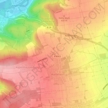
Name: Wankheim topographic map, elevation, terrain.
Average elevation: 410 m
Minimum elevation: 315 m
Maximum elevation: 458 m
Other topographic maps
Click on a map to view its topography, its elevation and its terrain.
Hohe Mark
Deutschland > Baden-Württemberg > Landkreis Tübingen > Kusterdingen
Hohe Mark, Kusterdingen, Landkreis Tübingen, Baden-Württemberg, 72127, Deutschland
Average elevation: 395 m