
Brahmpuri topographic map
Interactive map
Click on the map to display elevation.
About this map
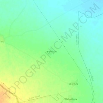
Name: Brahmpuri topographic map, elevation, terrain.
Location: Brahmpuri, Asind Tehsil, Bhilwara, Rajasthan, India (25.55721 74.48284 25.59721 74.52284)
Average elevation: 451 m
Minimum elevation: 439 m
Maximum elevation: 468 m
Other topographic maps
Click on a map to view its topography, its elevation and its terrain.
Hatan
India > Rajasthan > Asind Tehsil
Hatan, Asind Tehsil, Bhilwara District, Rajasthan, 311204, India
Average elevation: 462 m