
Dunstable Downs topographic map
Interactive map
Click on the map to display elevation.
About this map
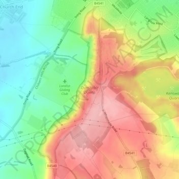
Name: Dunstable Downs topographic map, elevation, terrain.
Average elevation: 178 m
Minimum elevation: 112 m
Maximum elevation: 245 m
Because of its elevation, Dunstable Downs hosted a station in the shutter telegraph chain which connected the Admiralty in London to its naval ships in the port of Great Yarmouth during the years 1808 to 1814.