
株良镇 topographic map
Interactive map
Click on the map to display elevation.
About this map
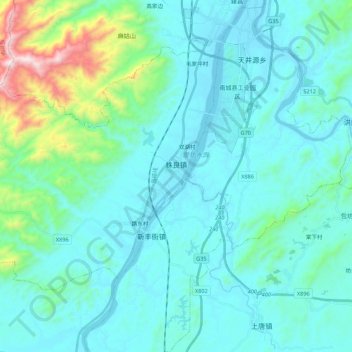
Name: 株良镇 topographic map, elevation, terrain.
Location: 株良镇, 南城县, 抚州市, 江西省, 中国 (27.39035 116.40927 27.53302 116.62723)
Average elevation: 197 m
Minimum elevation: 60 m
Maximum elevation: 1,036 m
Other topographic maps
Click on a map to view its topography, its elevation and its terrain.