
Thank you for supporting this site ❤️
Make a donation
Make a donation
Lac Coursolle topographic map
Click on the map to display elevation.
Thank you for supporting this site ❤️
Make a donation
Make a donation
About this map
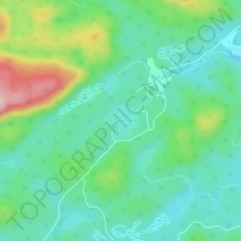
Name: Lac Coursolle topographic map, elevation, terrain.
Location: Lac Coursolle, Boileau, Papineau, Outaouais, Québec, Canada (45.94580 -74.74217 45.95046 -74.73441)
Average elevation: 270 m
Minimum elevation: 215 m
Maximum elevation: 408 m
Thank you for supporting this site ❤️
Make a donation
Make a donation
Other topographic maps
Click on a map to view its topography, its elevation and its terrain.