
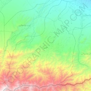
Achin topographic map
Interactive map
Click on the map to display elevation.
About this map
Name: Achin topographic map, elevation, terrain.
Location: Achin, Nangarhar Province, Afghanistan (33.94297 70.51225 34.23427 70.78637)
Average elevation: 1,495 m
Minimum elevation: 504 m
Maximum elevation: 3,931 m