
Provincia de Huaraz topographic map
Interactive map
Click on the map to display elevation.
About this map
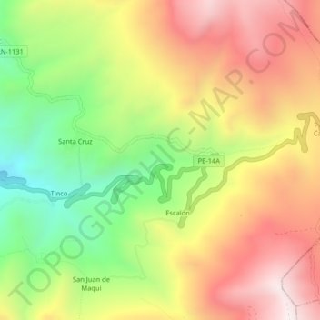
Name: Provincia de Huaraz topographic map, elevation, terrain.
Location: Provincia de Huaraz, Pira, Huaraz, Áncash, Perú (-9.57110 -77.66315 -9.53110 -77.62315)
Average elevation: 4,108 m
Minimum elevation: 3,642 m
Maximum elevation: 4,551 m
Other topographic maps
Click on a map to view its topography, its elevation and its terrain.