
Les Masses topographic map
Interactive map
Click on the map to display elevation.
About this map
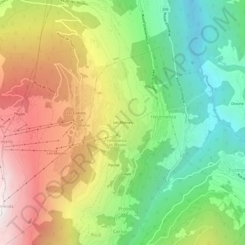
Name: Les Masses topographic map, elevation, terrain.
Location: Les Masses, Ayer, Hérémence, Hérens, Wallis, 1987, Switzerland (46.15979 7.37615 46.19979 7.41615)
Average elevation: 1,420 m
Minimum elevation: 624 m
Maximum elevation: 2,448 m