
Pelita topographic map
Interactive map
Click on the map to display elevation.
About this map
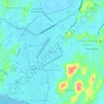
Name: Pelita topographic map, elevation, terrain.
Location: Pelita, East Kalimantan, 75124, Indonesia (-0.50548 117.14088 -0.46548 117.18088)
Average elevation: 15 m
Minimum elevation: -3 m
Maximum elevation: 98 m