
Brookland topographic map
Interactive map
Click on the map to display elevation.
About this map
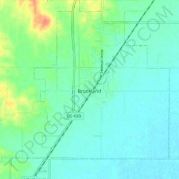
Name: Brookland topographic map, elevation, terrain.
Location: Brookland, Craighead County, Arkansas, 72417, United States (35.87188 -90.60412 35.92918 -90.55025)
Average elevation: 83 m
Minimum elevation: 72 m
Maximum elevation: 116 m