
Aïn Ben Khellil topographic map
Interactive map
Click on the map to display elevation.
About this map
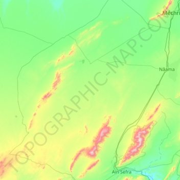
Name: Aïn Ben Khellil topographic map, elevation, terrain.
Location: Aïn Ben Khellil, daïra Mecheria, Naâma, Algérie (32.73180 -1.54378 33.58784 -0.48088)
Average elevation: 1,223 m
Minimum elevation: 990 m
Maximum elevation: 2,223 m