
Liberty topographic map
Interactive map
Click on the map to display elevation.
About this map
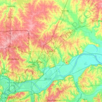
Name: Liberty topographic map, elevation, terrain.
Location: Liberty, Clay County, Missouri, 64968, United States (39.08648 -94.57908 39.40648 -94.25908)
Average elevation: 263 m
Minimum elevation: 214 m
Maximum elevation: 328 m