
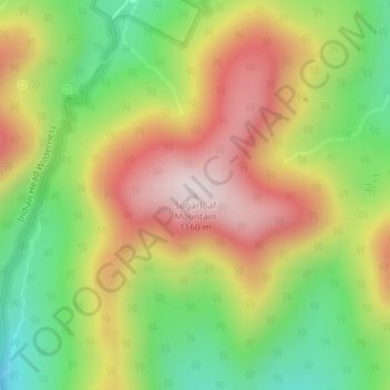
Sugarloaf Mountain topographic map
Interactive map
Click on the map to display elevation.
About this map
Name: Sugarloaf Mountain topographic map, elevation, terrain.
Average elevation: 846 m
Minimum elevation: 567 m
Maximum elevation: 1,145 m
Other topographic maps
Click on a map to view its topography, its elevation and its terrain.
Onteora Park
United States > New York > Greene County > Town of Hunter > Onteora Park
Onteora Park, Town of Hunter, Greene County, New York, 12485, United States
Average elevation: 684 m