
Thank you for supporting this site ❤️
Make a donation
Make a donation
Medina River topographic map
Click on the map to display elevation.
Thank you for supporting this site ❤️
Make a donation
Make a donation
About this map
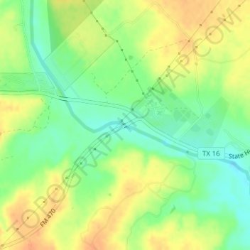
Name: Medina River topographic map, elevation, terrain.
Location: Medina River, Bandera County, Texas, United States (29.73318 -99.11468 29.73333 -99.11436)
Average elevation: 399 m
Minimum elevation: 379 m
Maximum elevation: 417 m
Thank you for supporting this site ❤️
Make a donation
Make a donation
Other topographic maps
Click on a map to view its topography, its elevation and its terrain.