
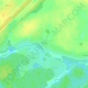
Яловица topographic map
Interactive map
Click on the map to display elevation.
About this map
Name: Яловица topographic map, elevation, terrain.
Average elevation: 171 m
Minimum elevation: 160 m
Maximum elevation: 182 m
Other topographic maps
Click on a map to view its topography, its elevation and its terrain.
Поддубье
Беларусь > Минская область > Смолевичский район > Жодинский сельский Совет
Поддубье, Жодинский сельский Совет, Смолевичский район, Минская область, Беларусь
Average elevation: 171 m