
Chêne Saint-Pelerine topographic map
Interactive map
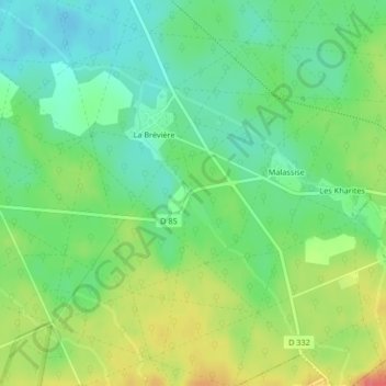
Click on the map to display elevation.
About this map
Name: Chêne Saint-Pelerine topographic map, elevation, terrain.
Average elevation: 63 m
Minimum elevation: 38 m
Maximum elevation: 101 m
Other topographic maps
Click on a map to view its topography, its elevation and its terrain.
La Brévière
France > Hauts-de-France > Oise > Saint-Jean-aux-Bois
La Brévière, Saint-Jean-aux-Bois, Compiègne, Oise, Hauts-de-France, France métropolitaine, 60350, France
Average elevation: 61 m