
Thank you for supporting this site ❤️
Make a donation
Make a donation
Hazel Grove topographic map
Click on the map to display elevation.
Thank you for supporting this site ❤️
Make a donation
Make a donation
About this map
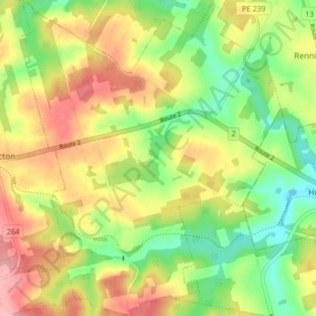
Name: Hazel Grove topographic map, elevation, terrain.
Location: Hazel Grove, Queens County, Prince Edward Island, Canada (46.33563 -63.42035 46.38504 -63.36086)
Average elevation: 72 m
Minimum elevation: 17 m
Maximum elevation: 133 m
Thank you for supporting this site ❤️
Make a donation
Make a donation