
Che Lei Pai topographic map
Interactive map
Click on the map to display elevation.
About this map
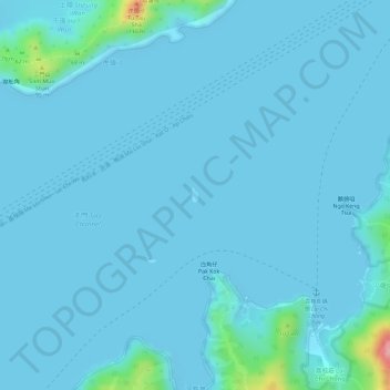
Name: Che Lei Pai topographic map, elevation, terrain.
Location: Che Lei Pai, Lai Chi Chong, Tai Po District, Hong Kong, PRC (22.46312 114.29060 22.46415 114.29118)
Average elevation: 8 m
Minimum elevation: 0 m
Maximum elevation: 129 m