
Zusammenhängende, auf Landgrabenlauf, hohen Grundwasserstand und zukünftig extensive Nutzung angewiesene Au- und Bruchwaldreste, Röhricht- und Seggenbestände sowie gewässerbegleitende Gehölzsäume topographic map
Interactive map
Click on the map to display elevation.
About this map
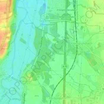
Name: Zusammenhängende, auf Landgrabenlauf, hohen Grundwasserstand und zukünftig extensive Nutzung angewiesene Au- und Bruchwaldreste, Röhricht- und Seggenbestände sowie gewässerbegleitende Gehölzsäume topographic map, elevation, terrain.
Average elevation: 290 m
Minimum elevation: 275 m
Maximum elevation: 315 m
Other topographic maps
Click on a map to view its topography, its elevation and its terrain.
Fürth
Deutschland > Bayern > Fürth
Fürth, Mittelfranken, Bayern, 90762, Deutschland
Average elevation: 343 m