
马鬃山镇 topographic map
Interactive map
Click on the map to display elevation.
About this map
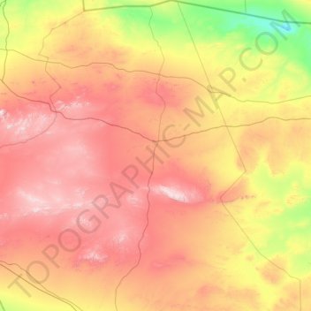
Name: 马鬃山镇 topographic map, elevation, terrain.
Location: 马鬃山镇, 肃北蒙古族自治县, 酒泉市, 甘肃省, 736300, 中国 (40.70745 95.60320 42.79457 98.33219)
Average elevation: 1,657 m
Minimum elevation: 1,046 m
Maximum elevation: 2,626 m
Other topographic maps
Click on a map to view its topography, its elevation and its terrain.