
Cheikh Laifa topographic map
Interactive map
Click on the map to display elevation.
About this map
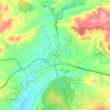
Name: Cheikh Laifa topographic map, elevation, terrain.
Location: Cheikh Laifa, Daïra Sétif, Sétif, 1900, RADP (36.20692 5.37563 36.24692 5.41563)
Average elevation: 1,067 m
Minimum elevation: 994 m
Maximum elevation: 1,178 m