
双乳村 topographic map
Interactive map
Click on the map to display elevation.
About this map
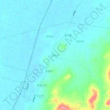
Name: 双乳村 topographic map, elevation, terrain.
Location: 双乳村, 济南市, 山东省, 中国 (36.42694 116.62365 36.46694 116.66365)
Average elevation: 50 m
Minimum elevation: 32 m
Maximum elevation: 145 m
Other topographic maps
Click on a map to view its topography, its elevation and its terrain.