
Kodumon topographic map
Interactive map
Click on the map to display elevation.
About this map
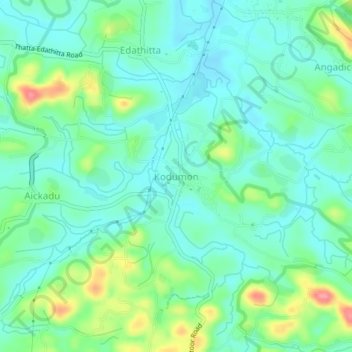
Name: Kodumon topographic map, elevation, terrain.
Location: Kodumon, Adoor, Pathanamthitta District, Kerala, 691555, India (9.16523 76.75072 9.20523 76.79072)
Average elevation: 38 m
Minimum elevation: 14 m
Maximum elevation: 103 m
Other topographic maps
Click on a map to view its topography, its elevation and its terrain.