
West Ridge topographic map
Interactive map
Click on the map to display elevation.
About this map
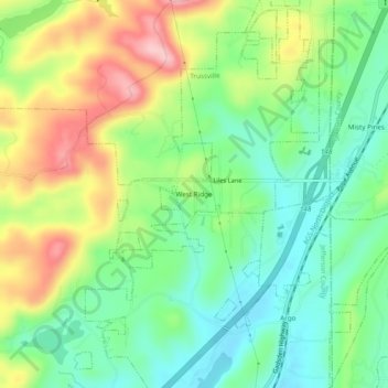
Name: West Ridge topographic map, elevation, terrain.
Average elevation: 296 m
Minimum elevation: 226 m
Maximum elevation: 409 m
Other topographic maps
Click on a map to view its topography, its elevation and its terrain.
Breakstone Village
United States > Alabama > Jefferson County > Trussville
Breakstone Village, Trussville, Jefferson County, Alabama, 35173, United States
Average elevation: 237 m