
眼塔坪 topographic map
Interactive map
Click on the map to display elevation.
About this map
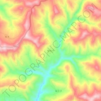
Name: 眼塔坪 topographic map, elevation, terrain.
Location: 眼塔坪, 连儿湾乡, 临洮县, 定西市, 甘肃省, 中国 (35.38008 104.08478 35.42008 104.12478)
Average elevation: 2,351 m
Minimum elevation: 2,162 m
Maximum elevation: 2,508 m