
Tambahrejo topographic map
Interactive map
Click on the map to display elevation.
About this map
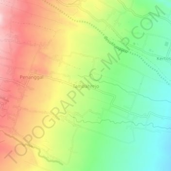
Name: Tambahrejo topographic map, elevation, terrain.
Location: Tambahrejo, Lumajang, East Java, Indonesia (-8.16282 113.03741 -8.12282 113.07741)
Average elevation: 477 m
Minimum elevation: 358 m
Maximum elevation: 613 m