
Dover topographic map
Interactive map
Click on the map to display elevation.
About this map
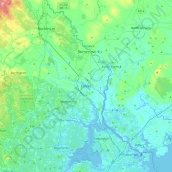
Name: Dover topographic map, elevation, terrain.
Location: Dover, Strafford County, New Hampshire, 03820, United States (43.03811 -71.03398 43.35811 -70.71398)
Average elevation: 52 m
Minimum elevation: -8 m
Maximum elevation: 354 m