
Saraikela topographic map
Interactive map
Click on the map to display elevation.
About this map
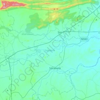
Name: Saraikela topographic map, elevation, terrain.
Location: Saraikela, Seraikela Kharsawan, Jharkhand, 833219, India (22.61674 85.85172 22.87701 86.01132)
Average elevation: 206 m
Minimum elevation: 135 m
Maximum elevation: 727 m
Other topographic maps
Click on a map to view its topography, its elevation and its terrain.