
Texas City topographic map
Interactive map
Click on the map to display elevation.
About this map
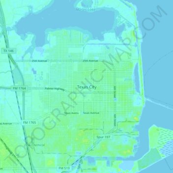
Name: Texas City topographic map, elevation, terrain.
Location: Texas City, Galveston County, Texas, 77590, United States (29.35601 -94.95755 29.43601 -94.87755)
Average elevation: 3 m
Minimum elevation: -4 m
Maximum elevation: 14 m
Officially, the elevation of Texas City is 10 feet above sea level, though some areas are even lower. It was naturally vulnerable to flooding by hurricane storm surges and heavy rainstorms.