
East Hampton topographic map
Interactive map
Click on the map to display elevation.
About this map
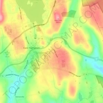
Name: East Hampton topographic map, elevation, terrain.
Average elevation: 143 m
Minimum elevation: 79 m
Maximum elevation: 201 m
Other topographic maps
Click on a map to view its topography, its elevation and its terrain.
Lake Pocotopaug
United States > Connecticut > Middlesex County > East Hampton
Lake Pocotopaug, East Hampton, Middlesex County, Connecticut, United States
Average elevation: 174 m