
Gerdshagen topographic map
Interactive map
Click on the map to display elevation.
About this map
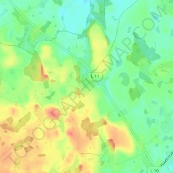
Name: Gerdshagen topographic map, elevation, terrain.
Average elevation: 67 m
Minimum elevation: 45 m
Maximum elevation: 98 m
Other topographic maps
Click on a map to view its topography, its elevation and its terrain.
Oberhagen
Deutschland > Mecklenburg-Vorpommern > Landkreis Rostock > Satow > Oberhagen
Oberhagen, Satow, Landkreis Rostock, Mecklenburg-Vorpommern, 18239, Deutschland
Average elevation: 47 m