
Thank you for supporting this site ❤️
Make a donation
Make a donation
Čavoglave topographic map
Click on the map to display elevation.
Thank you for supporting this site ❤️
Make a donation
Make a donation
About this map
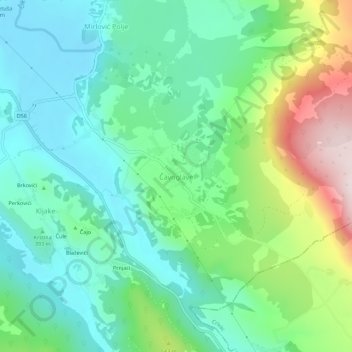
Name: Čavoglave topographic map, elevation, terrain.
Location: Čavoglave, Općina Ružić, Šibenik-Knin County, Croatia (43.76299 16.31694 43.80299 16.35694)
Average elevation: 433 m
Minimum elevation: 279 m
Maximum elevation: 818 m
Thank you for supporting this site ❤️
Make a donation
Make a donation