
李圩 topographic map
Interactive map
Click on the map to display elevation.
About this map
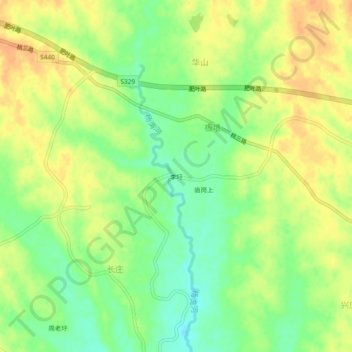
Name: 李圩 topographic map, elevation, terrain.
Location: 李圩, 山南镇, 肥西县, 合肥市, 安徽省, 231200, 中国 (31.62356 116.79912 31.66356 116.83912)
Average elevation: 51 m
Minimum elevation: 31 m
Maximum elevation: 67 m
Other topographic maps
Click on a map to view its topography, its elevation and its terrain.