
Rehbichl topographic map
Interactive map
Click on the map to display elevation.
About this map
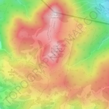
Name: Rehbichl topographic map, elevation, terrain.
Location: Rehbichl, Zöblen, Bezirk Reutte, 6677, Österreich (47.52986 10.48892 47.52996 10.48902)
Average elevation: 1,390 m
Minimum elevation: 1,006 m
Maximum elevation: 1,669 m