
长江第一弯 topographic map
Interactive map
Click on the map to display elevation.
About this map
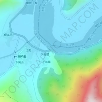
Name: 长江第一弯 topographic map, elevation, terrain.
Location: 长江第一弯, G353, 下海螺, 玉龙纳西族自治县, 丽江市, 云南省, 中国 (26.86882 99.96348 26.86892 99.96358)
Average elevation: 1,951 m
Minimum elevation: 1,812 m
Maximum elevation: 2,671 m