
Thank you for supporting this site ❤️
Make a donation
Make a donation
Keith County topographic map
Click on the map to display elevation.
Thank you for supporting this site ❤️
Make a donation
Make a donation
About this map
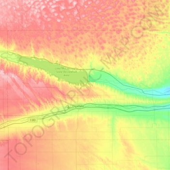
Name: Keith County topographic map, elevation, terrain.
Location: Keith County, Nebraska, United States (41.00347 -102.05557 41.39594 -101.24803)
Average elevation: 1,044 m
Minimum elevation: 913 m
Maximum elevation: 1,189 m
Thank you for supporting this site ❤️
Make a donation
Make a donation