
Noordhoek topographic map
Interactive map
Click on the map to display elevation.
About this map
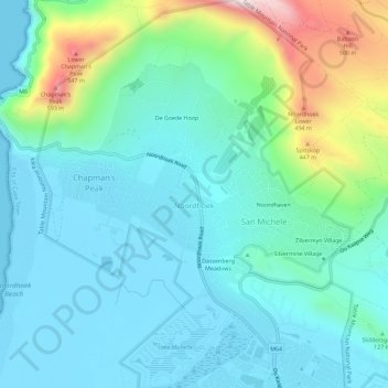
Name: Noordhoek topographic map, elevation, terrain.
Location: Noordhoek, City of Cape Town, Western Cape, South Africa (-34.12501 18.35698 -34.07780 18.40314)
Average elevation: 138 m
Minimum elevation: -1 m
Maximum elevation: 653 m