
Vineland topographic map
Interactive map
Click on the map to display elevation.
About this map
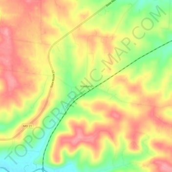
Name: Vineland topographic map, elevation, terrain.
Location: Vineland, Jefferson County, Missouri, 63626, United States (38.07533 -90.63291 38.11533 -90.59291)
Average elevation: 230 m
Minimum elevation: 173 m
Maximum elevation: 271 m