
Melrose topographic map
Interactive map
Click on the map to display elevation.
About this map
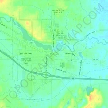
Name: Melrose topographic map, elevation, terrain.
Location: Melrose, Stearns County, Minnesota, United States (45.65792 -94.84498 45.69148 -94.78836)
Average elevation: 368 m
Minimum elevation: 357 m
Maximum elevation: 390 m