
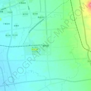
唐村镇 topographic map
Interactive map
Click on the map to display elevation.
About this map
Name: 唐村镇 topographic map, elevation, terrain.
Location: 唐村镇, 邹城市, 济宁市, 山东省, 中国 (35.28782 116.90022 35.36782 116.98022)
Average elevation: 60 m
Minimum elevation: 41 m
Maximum elevation: 139 m