
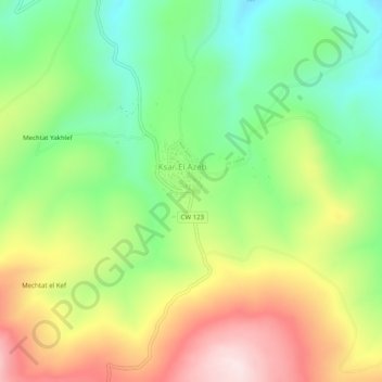
Ksar El Azeb topographic map
Interactive map
Click on the map to display elevation.
About this map
Name: Ksar El Azeb topographic map, elevation, terrain.
Location: Ksar El Azeb, Ain Regada, Daïra Oued Zenati, Guelma, Algérie (36.30740 7.04487 36.34740 7.08487)
Average elevation: 827 m
Minimum elevation: 656 m
Maximum elevation: 1,058 m