
Sindang Sono topographic map
Interactive map
Click on the map to display elevation.
About this map
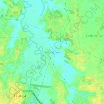
Name: Sindang Sono topographic map, elevation, terrain.
Location: Sindang Sono, Tangerang Regency, Banten, Indonesia (-6.19645 106.45539 -6.15645 106.49539)
Average elevation: 15 m
Minimum elevation: 4 m
Maximum elevation: 27 m