
Thank you for supporting this site ❤️
Make a donation
Make a donation
Palachuvad Junction topographic map
Click on the map to display elevation.
Thank you for supporting this site ❤️
Make a donation
Make a donation
About this map
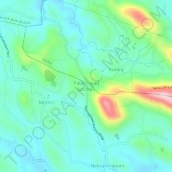
Name: Palachuvad Junction topographic map, elevation, terrain.
Location: Palachuvad Junction, Meenachil, Kottayam, Kerala, 6, India (9.82214 76.62295 9.86214 76.66295)
Average elevation: 121 m
Minimum elevation: 40 m
Maximum elevation: 386 m
Thank you for supporting this site ❤️
Make a donation
Make a donation