
中泓故道 topographic map
Interactive map
Click on the map to display elevation.
About this map
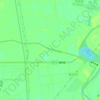
Name: 中泓故道 topographic map, elevation, terrain.
Location: 中泓故道, 北辰区, 天津市, 300400, 中国 (39.24432 117.06155 39.24805 117.08557)
Average elevation: 7 m
Minimum elevation: -2 m
Maximum elevation: 10 m
Other topographic maps
Click on a map to view its topography, its elevation and its terrain.