
Thank you for supporting this site ❤️
Make a donation
Make a donation
Magee topographic map
Click on the map to display elevation.
Thank you for supporting this site ❤️
Make a donation
Make a donation
About this map
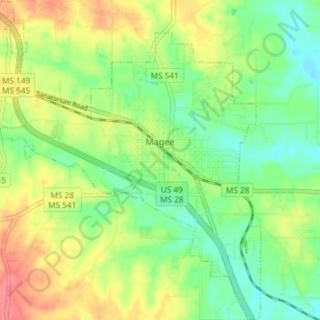
Name: Magee topographic map, elevation, terrain.
Location: Magee, Simpson County, Mississippi, 39111, United States (31.84200 -89.76945 31.89890 -89.71247)
Average elevation: 132 m
Minimum elevation: 106 m
Maximum elevation: 169 m
Thank you for supporting this site ❤️
Make a donation
Make a donation
Other topographic maps
Click on a map to view its topography, its elevation and its terrain.