
严西湖 topographic map
Interactive map
Click on the map to display elevation.
About this map
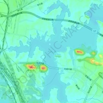
Name: 严西湖 topographic map, elevation, terrain.
Location: 严西湖, 洪山区, 武汉市, 湖北省, 中国 (30.53882 114.44503 30.60175 114.51841)
Average elevation: 27 m
Minimum elevation: 14 m
Maximum elevation: 108 m
Other topographic maps
Click on a map to view its topography, its elevation and its terrain.