
沾化区 topographic map
Interactive map
Click on the map to display elevation.
About this map
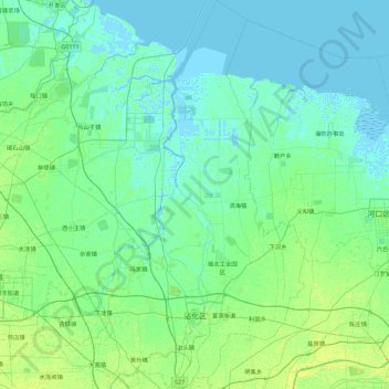
Name: 沾化区 topographic map, elevation, terrain.
Location: 沾化区, 滨州市, 山东省, 256800, 中国 (37.56228 117.72823 38.27565 118.41218)
Average elevation: 4 m
Minimum elevation: -3 m
Maximum elevation: 21 m
Other topographic maps
Click on a map to view its topography, its elevation and its terrain.