
Hog Island topographic map
Interactive map
Click on the map to display elevation.
About this map
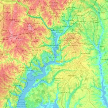
Name: Hog Island topographic map, elevation, terrain.
Average elevation: 55 m
Minimum elevation: -5 m
Maximum elevation: 167 m
Other topographic maps
Click on a map to view its topography, its elevation and its terrain.
North Mount Vernon
United States > Virginia > Fairfax County > Fort Hunt
North Mount Vernon, Fort Hunt, Fairfax County, Virginia, 22308, United States
Average elevation: 7 m