
Chengwatana State Forest topographic map
Interactive map
Click on the map to display elevation.
About this map
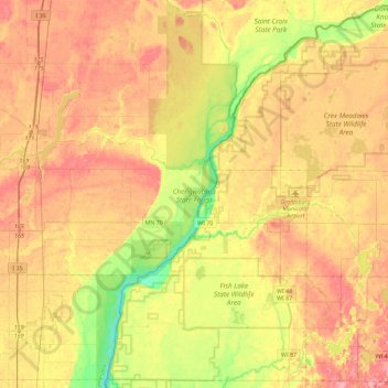
Name: Chengwatana State Forest topographic map, elevation, terrain.
Average elevation: 282 m
Minimum elevation: 232 m
Maximum elevation: 323 m