
古井镇 topographic map
Interactive map
Click on the map to display elevation.
About this map
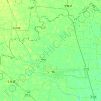
Name: 古井镇 topographic map, elevation, terrain.
Location: 古井镇, 谯城区, 亳州市, 安徽省, 中国 (33.95608 115.59719 34.08295 115.76084)
Average elevation: 43 m
Minimum elevation: 36 m
Maximum elevation: 48 m
Other topographic maps
Click on a map to view its topography, its elevation and its terrain.